
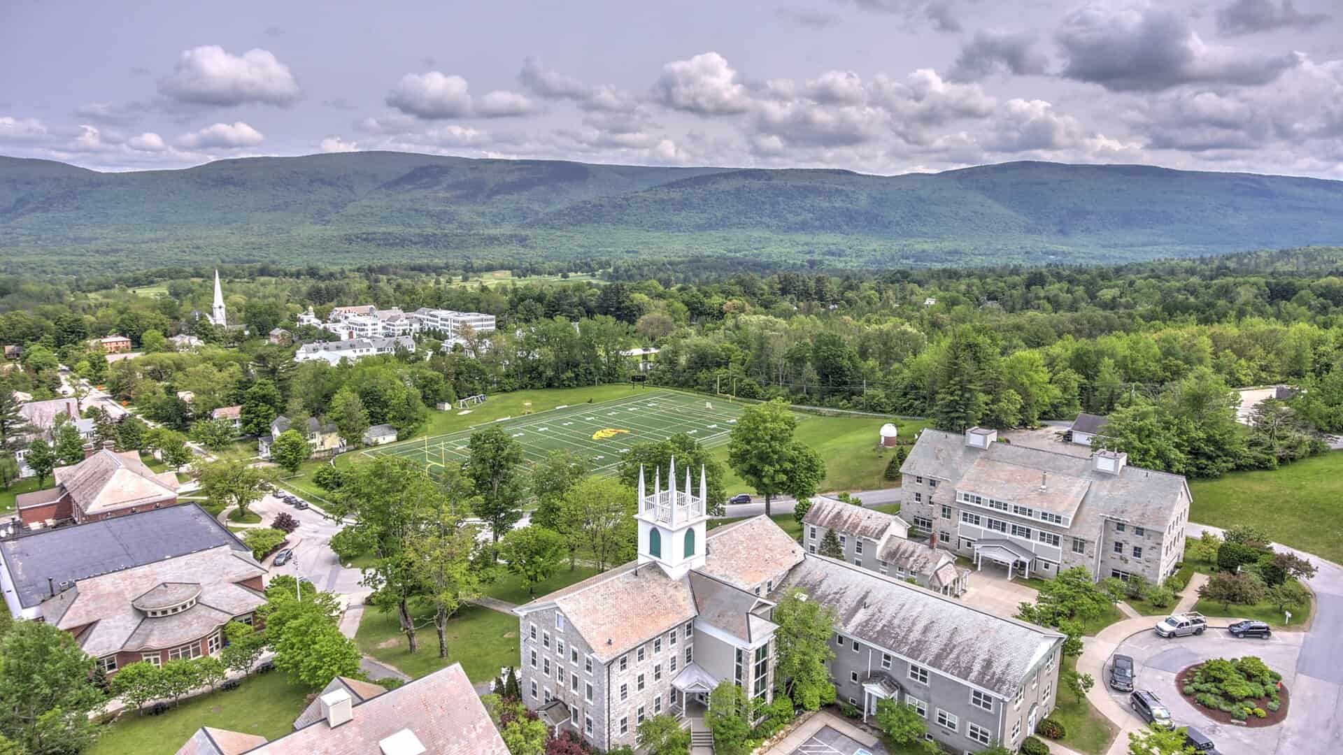
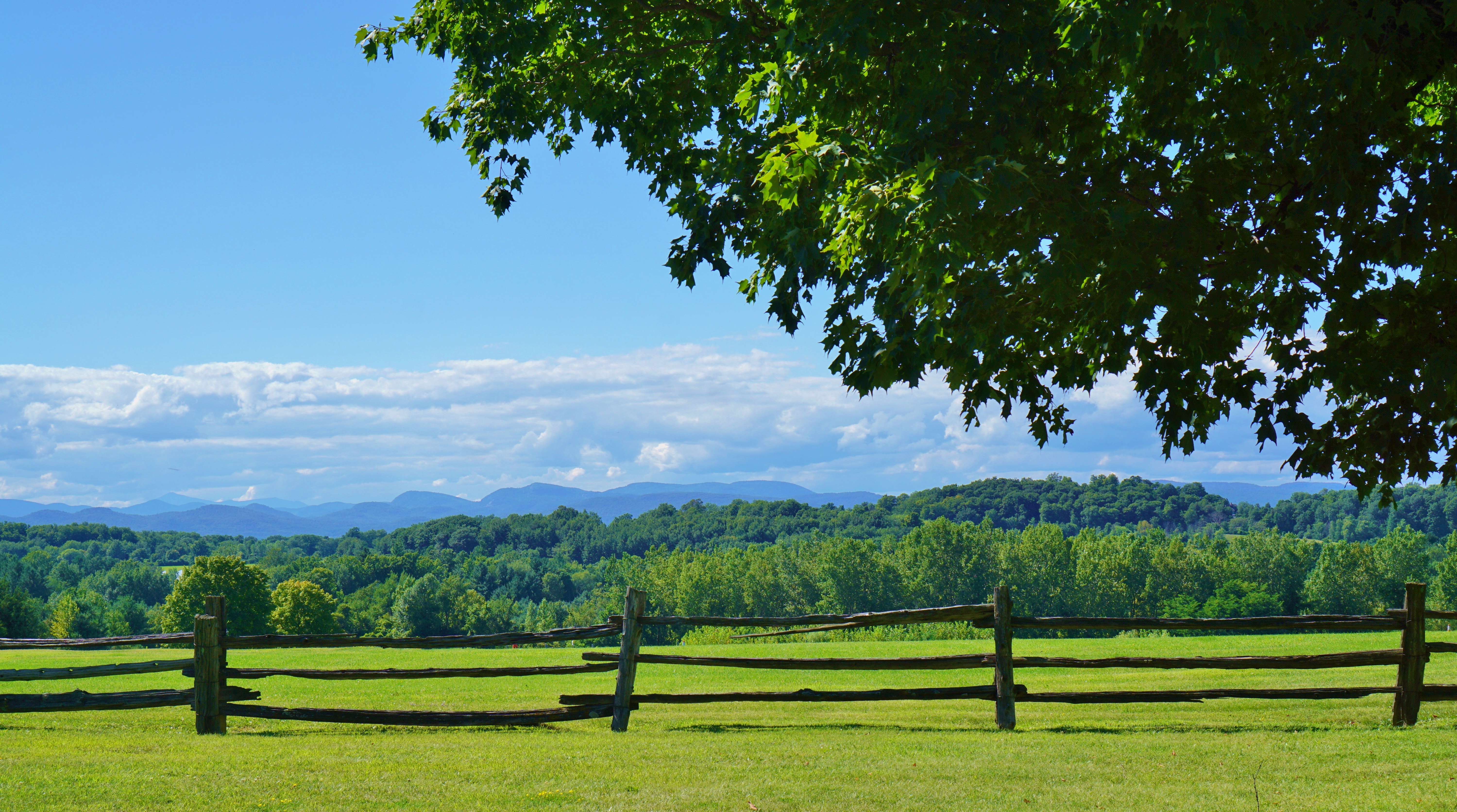
Bicycling in Southern Vermont
Quiet roads. Endless gravel. Big views.
Discover Southern Vermont by bike with these curated day rides—no apps required. Just easy-to-follow directions, beautiful terrain, and enough variety for every rider.
Ride Index (Easiest to Hardest)
Manchester Dirt Roads Short Loop
- Manchester
- Gravel
- 7.8 mi
- Moderate
Dorset Hollow–Rupert Ridge Loop
- Dorset, Rupert
- Gravel
- 22 mi
- Moderate
Manchester–Dorset–Arlington Loop
- Manchester, Dorset, Arlington
- Road
- 30 mi
- Moderate
- Arlington, Sunderland, Winhall
- Gravel
- 35 mi
- Moderate
- Weston, Peru, Londonderry
- Mixed
- 40 mi
- Moderate
- Peru, Dorset
- Gravel
- 22 mi
- Challenging
- Arlington, Sandgate
- Gravel
- 26 mi
- Challenging
- Rupert
- Trail
- 3–10 mi
- Moderate
Ride Details
Battenkill Pathway
Town: Manchester
Distance: 1.5 mi
Elevation Gain: Minimal
Difficulty: Easy
Surface: Paved multi-use path
Turn by Turn:
Start and end at Dana L. Thompson Park. Follow the paved path along the Battenkill River and turn around at the end.
A flat, scenic pathway perfect for kids, beginners, or a slow spin by the river.
Round-A-Bout Union Street Loop
Town: Manchester
Distance: 6.1 mi
Elevation Gain: 441 ft
Difficulty: Easy
Surface: Paved
Turn by Turn:
Start at Dana L. Thompson Park. Head south on Bonnet St → right on Union St → right on Richville Rd → return via Bonnet St.
Quiet streets and rolling terrain make this a pleasant low-effort loop around Manchester’s village neighborhoods.
Grout Pond Fatbike Loop
Town: Winhall
Distance: ~6 mi
Elevation Gain: Minimal
Difficulty: Easy
Surface: Dirt trails and forest roads.
Turn by Turn:
From Grout Pond parking area, take the loop trail around the pond clockwise. Optional extensions on forest roads.
Shaded and serene, this ride is great for fat bikes or casual trail riders. Beautiful in winter or summer.
Manchester Dirt Roads Short Loop
Town: Manchester
Distance: 7.8 mi
Elevation Gain: 465 ft
Difficulty: Moderate
Surface: Gravel and paved mix.
Turn by Turn:
Start at Dana L. Thompson Park. Take North Rd → explore side gravel roads → loop back via Richville Rd or the Rec Park Path.
A short sampler of Manchester’s scenic backroads with low car traffic and open views.
Dorset Hollow–Rupert Ridge Loop
Towns: Dorset, Rupert
Distance: 22 mi
Elevation Gain: 1,800 ft
Difficulty: Moderate
Surface: 60% gravel
Turn by Turn:
Start in Dorset. Ride up Lower Hollow Rd → continue onto Rupert Mountain Rd → descend into Rupert village → return via Route 30 to Dorset.
Charming and quiet, this ride is full of pastoral views and light gravel climbing.
Manchester–Dorset–Arlington Loop
Towns: Manchester, Dorset, Arlington
Distance: 30 mi
Elevation Gain: 1,800 ft
Difficulty: Moderate
Surface: Paved
Turn by Turn:
Start at Dana L. Thompson Park. Route 30 north to Dorset → Dorset West Rd → Route 7A south to Arlington → return to Manchester via River Rd or 7A.
A classic Vermont road ride through historic towns and along scenic rivers.
Kelly Stand Road Traverse
Towns: Arlington, Sunderland, Winhall
Distance: 35 mi
Elevation Gain: 2,500 ft
Difficulty: Moderate
Surface: 70% gravel
Turn by Turn:
Start in East Arlington. Ride Kelley Stand Rd east to West Wardsboro → optional return same way or loop back via Stratton-Arlington Rd.
One of the best long gravel stretches in Southern Vermont, through thick forest and alongside rivers.
Weston–Peru–Londonderry Loop
Towns: Weston, Peru, Londonderry
Distance: 40 mi
Elevation Gain: 3,500 ft
Difficulty: Moderate
Surface: 50% gravel, 50% paved
Turn by Turn:
Start in Weston. Ride north on Route 100 → Londonderry → turn west toward Peru → return south via Landgrove backroads to Weston.
A long and varied ride through quaint towns, forest roads, and open valleys.
Mad Tom Notch Connector
Towns: Peru, Dorset
Distance: 22 mi
Elevation Gain: 2,100 ft
Difficulty: Challenging
Surface: Mostly gravel
Turn by Turn:
Start in Peru. Ride east on Mad Tom Notch Rd → descend into East Dorset → return via Route 7 or loop back through Dorset Hollow.
Steep, remote, and rugged — for experienced gravel riders looking for peace and a workout.
Sandgate–West Arlington Loop
Towns: Arlington, Sandgate
Distance: 26 mi
Elevation Gain: 2,300 ft
Difficulty: Challenging
Surface: Mostly gravel with Class 4 sections
Turn by Turn:
Start in Arlington. Ride north on Sandgate Rd → left on West Sandgate Rd → descend to Route 313 → return to Arlington.
A steep, scenic loop with old roads, narrow passes, and wide-open farmland. Expect solitude.
Merck Forest Loop Options
Town: Rupert
Distance: 3–10 mi
Elevation Gain: Varies
Difficulty: Moderate
Surface: Trails and doubletrack
Turn by Turn:
Start at Merck Forest Visitor Center. Follow signed trails open to bikes (consult trail map on site). Return via the same or alternate loop.
Short rides, big views. Ride past barns, fields, and into peaceful forest preserves.

Connect